Official statistics under development: Socioeconomic Index for Small Areas (SEISA)
The Socioeconomic Index for Small Areas (SEISA) is;
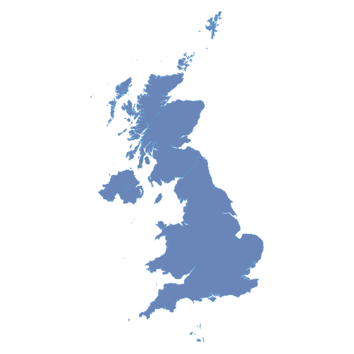
- A UK-wide area-based measure of deprivation developed by HESA
- Currently formed using Census 2011 data (with plans to update this with Census 2021 information once available for all four nations)
- Derived using area-level data on the qualifications and occupations of residents
- Based on smaller-sized areas than those used to create the Indices of Deprivation
This page and the video below give an outline of the materials you will find on this site.
Skip to: Landing page (0:05) | Summary page (0:40) | Interactive maps (2:17) | Resources page (4:09) | Download video transcript (.txt)
Summary page
Please read the summary of the SEISA measure before exploring the maps. The summary aims to answer the most frequently asked questions about our measure of deprivation and covers topics such as;
- How and why the measure was created
- How it compares with other area-based measures, such as the Indices of Deprivation and TUNDRA (tracking under-representation by area)
- How the measure can and cannot be used
Interactive maps and postcode search tool
The links below take you to maps for all four nations of the UK. SEISA is a UK-wide measure of deprivation but we have made maps separately for each country to improve their speed.
Each map page has a video on how to use the interactive map tools. The videos are broken into sections so you can skip to the parts you need.
Downloads and additional resources
The resources page includes:
1. A technical report, which gives further details on our methodology and the work we carried out to validate the measure. It also highlights in more depth how our measure compares to the Indices of Deprivation in each nation.
2. A dataset that contains the variables we used to create our technical report. This file includes other area-based measures such as the Indices of Deprivation and TUNDRA. This resource is aimed at researchers and analysts who wish to replicate our work or carry out their own explorations. Please note that this is a static file and will not be updated if there are revisions to the Indices of Deprivation or TUNDRA in the future.
3. An excel file that consists of the output/small area code, the SEISA proportion and the corresponding SEISA decile (on both a UK-wide and country-specific basis). This is aimed at users who want to link SEISA information to other datasets that contain postcodes or output/small area codes. Postcodes can be mapped to output/small area codes using files provided by the Office for National Statistics.
Contact us
If you have any questions/comments about;
- The methodology or data sources used to develop the measure
- Statistics we publish on this measure (such as this release)
- The interactive map/postcode search tool (including any technical matters)
Please contact:
Statistician
Siobhan Donnelly
Archie Bye
SEISA pages
- SEISA homepage
- SEISA summary
- England map
- Wales map
- Scotland map
- Northern Ireland map
- SEISA resources
Feedback
Please email [email protected] with comments on this experimental statistics release
Press enquiries
+44 (0)1242 388 513 [option 6], [email protected]